SHORT WALKS & DAY HIKES
Unforgettable Walks
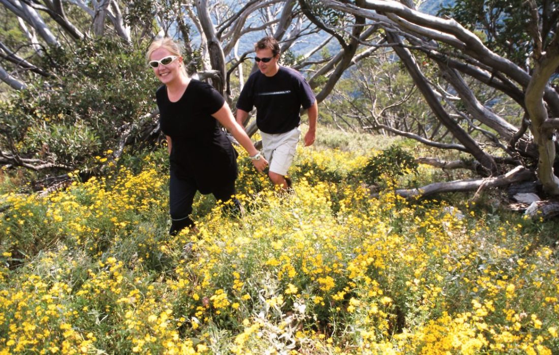
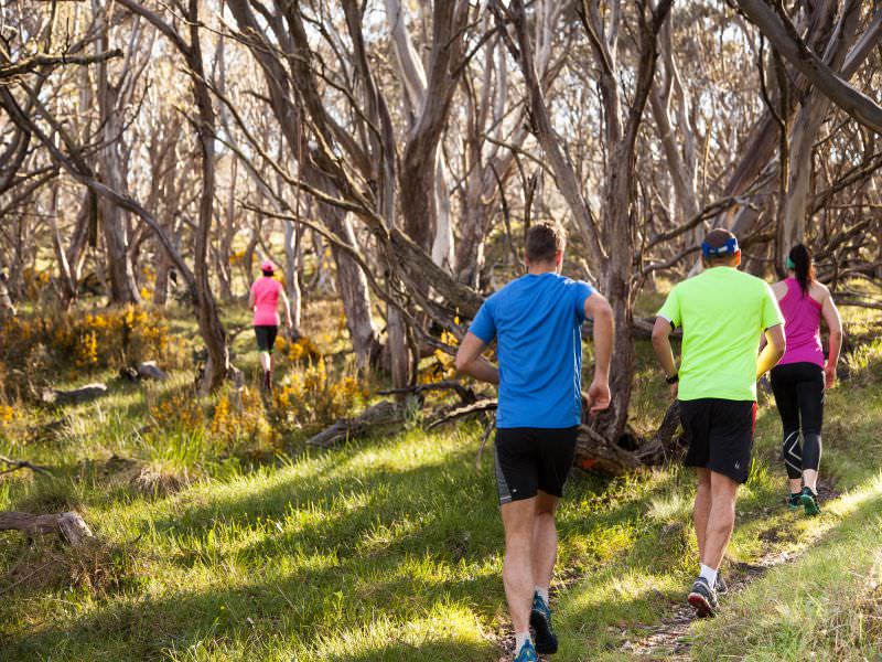
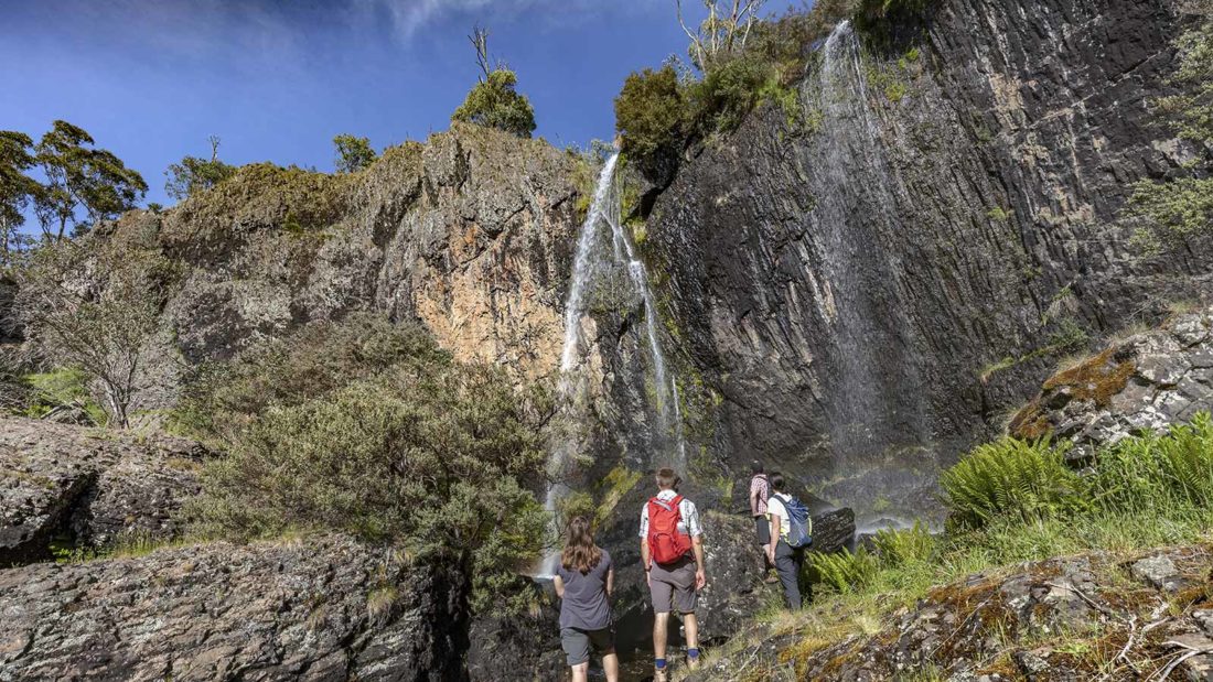
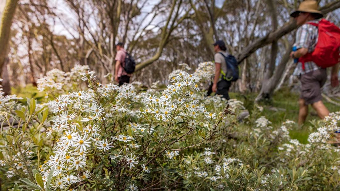
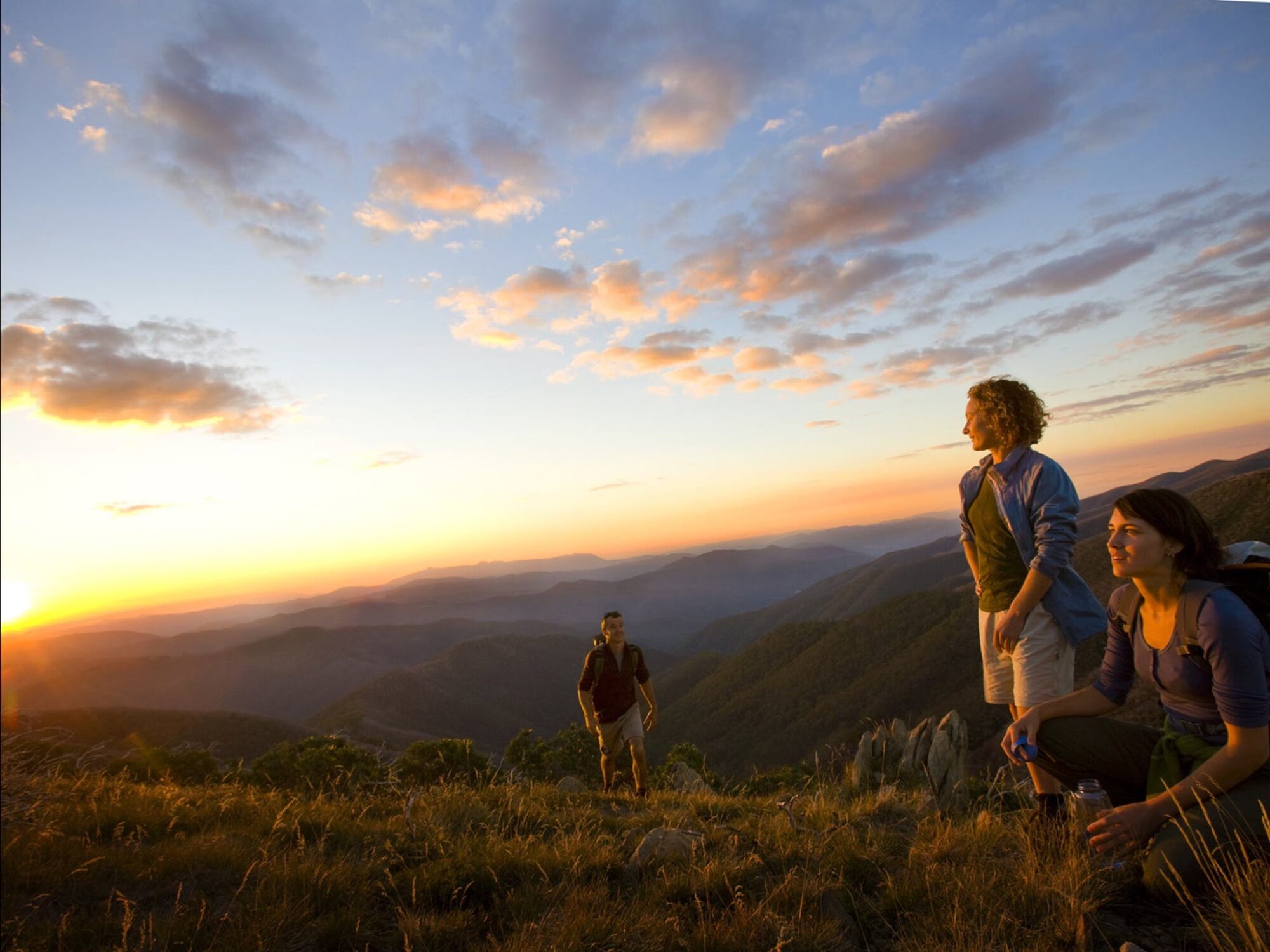
Dinner Plain is the gateway to Victoria's High Country with hundreds of kilometers of hiking and walking trails extending to the furthest reaches of the Alpine National Park. From epic treks to easy strolls, there is an experience for everyone. When the snow melts, the National Park becomes a spectacular display of native alpine wildflowers set against sweeping mountain vistas. Within just a few kilometres, Dinner Plain's tracks and trails lead to historic mountain huts, spring-fed waterfalls and sheer rockfaces etched into the landscape. Dinner Plain also has an Orienteering Challenge.
At the heart of it all is the magnificent alpine village of Dinner Plain, with all of the luxuries and comforts to make a High Country experience truly spectacular.
Dinner Plain Trail Map

Download Track Notes
Alpine Wildflowers Walks
Tips For Hiking on Alpine Trails
Dinner Plain's tracks and trails are open year-round, but the best time of year to hike them tends to be from November to April. Check the weather before attempting hikes in May. Weather conditions can change rapidly anytime of year. From June onwards, many trails are snow covered and some can be accessed by cross-country skis or snowshoes. For your safety:
- Always let someone know where you plan to walk and when you will return. Phone reception is unreliable.
- Take warm clothing and wear a hat and sunscreen.
- Carry water and snacks.
WARNING: Trails and track markings can be indiscernible between June to October due to snow cover. Dinner Plain has a network of well-marked groomed trails within the village boundary. Beyond the village, walks, snowshoeing and backcountry skiing in the Alpine National Park (with the exception of the groomed Brabralung Trail) should only be attempted by experienced alpine hikers and skiers with navigational and backcountry survival skills.
Hiking Season: November to April
Trailhead: DP Hut on Horseshoe Circle. Shelter, toilets and water.
Cost: Free
Car Parking: Horseshoe Circle car park
Physical Maps: DP Hut and Dinner Plain Accommodation
Rubbish: When visiting the Alpine National Park, please take out what you take in and place all rubbish in the bins provided, such as at DP Hut near the entrance to the village.